Friends of the Lines of Torres Vedras
  • Home
  • The Lines of Torres Vedras
    • A Brief History of the Lines
    • Maps of Lines of Torres Vedras >
      • More Maps of Lines
    • The building of the Lines >
      • Districts and Forts on the Lines
    • Why the Lines are still Important
    • The Lines today >
      • Maintained forts
      • Wellington's Headquarters - Perl Negro
      • Beresford's Headquarters - Casal Cochim
      • The Lines on Google Earth
      • Monument at Alhandra
    • Bibliography of the Lines
    • Useful Links to other websites
    • Documents about the Lines >
      • Invade
    • Trail Guides and Leaflets
    • Photo Gallery
  • The Friends of the Lines
    • The Friends of the Lines
    • Officers of the Friends >
      • Committee of the Friends
    • How to Join the Friends
    • Data Protection
    • Newsletters
  • News
  • Contact us
  • Podcasts

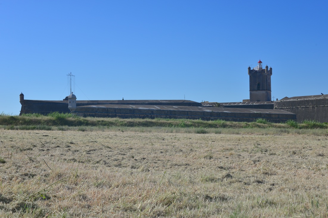
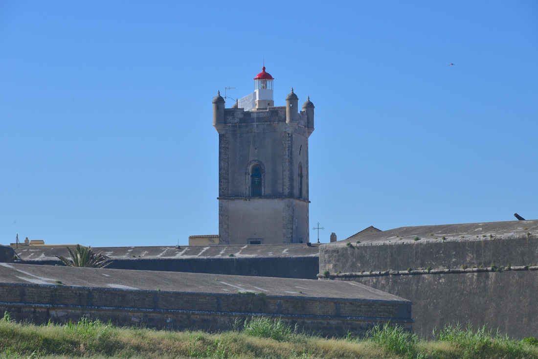
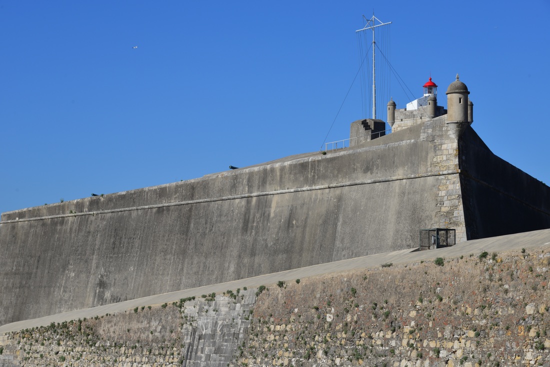
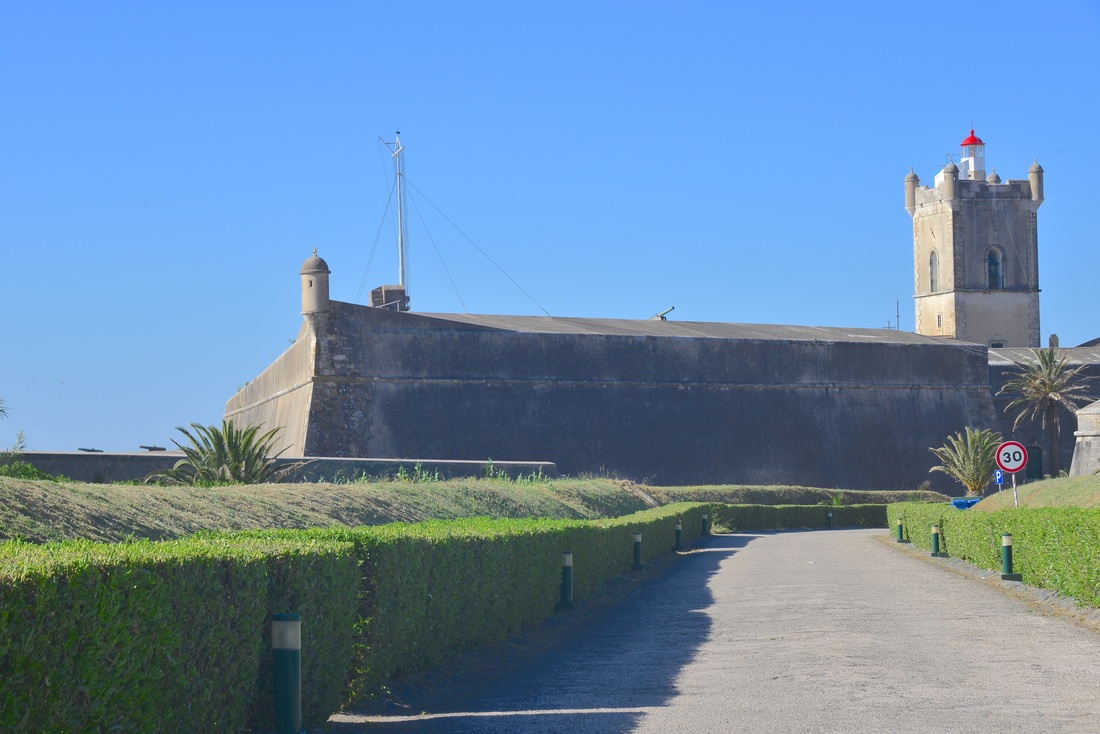
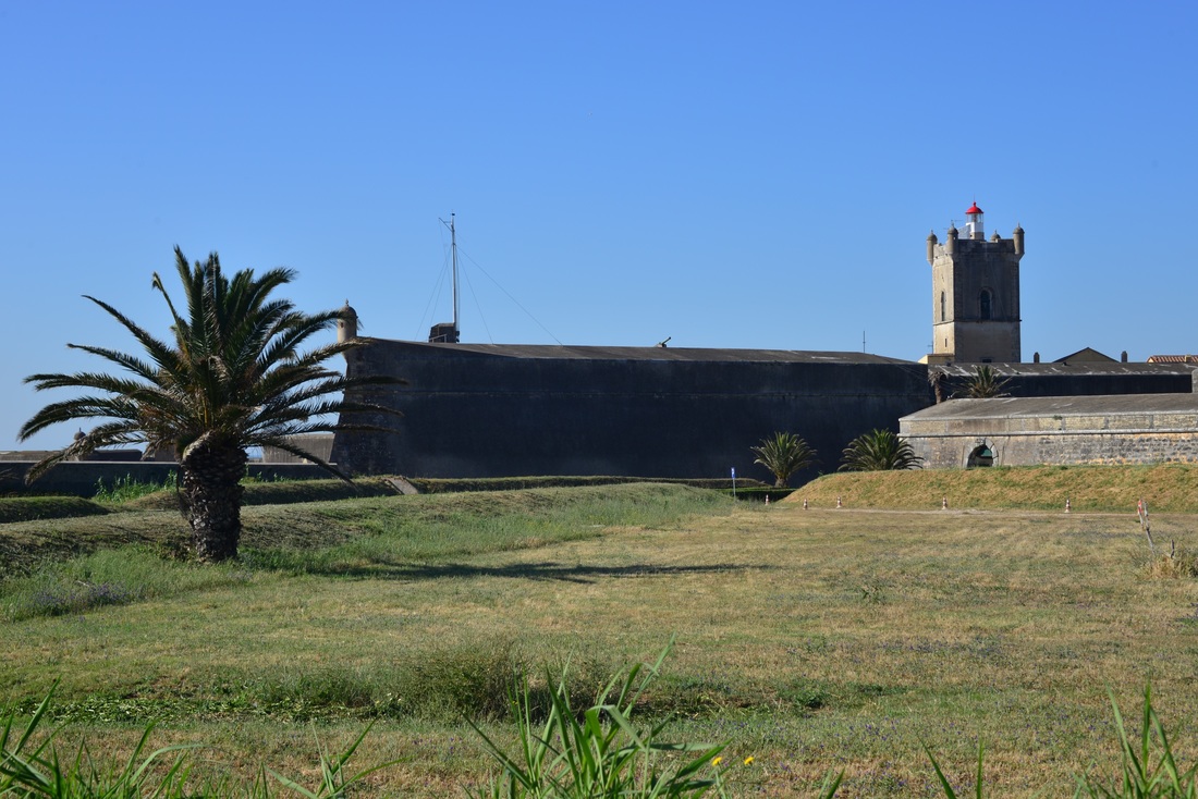
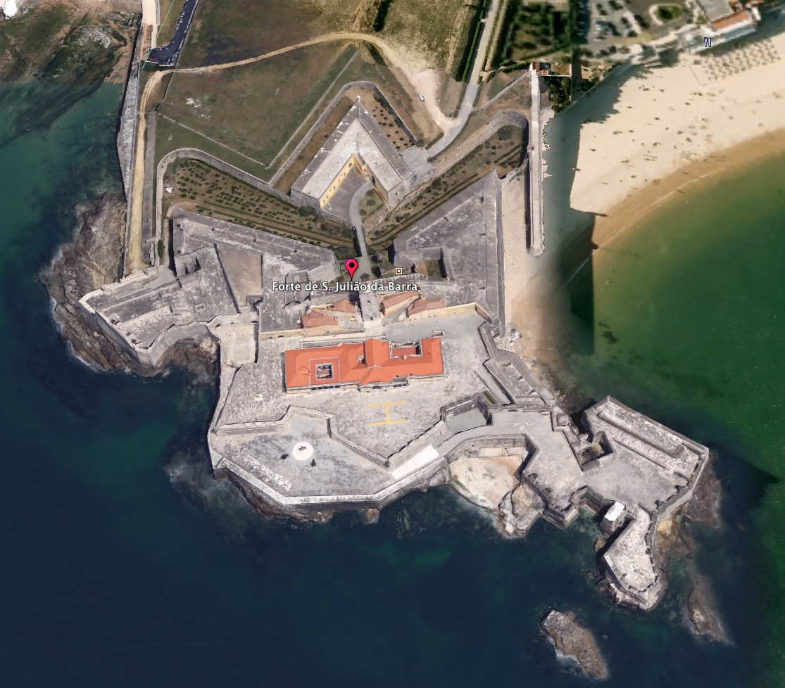
Fort of St Julian da Barra

Location :  38.674653° N, 9.325405° W

Embarkation point for Allied Army.


​
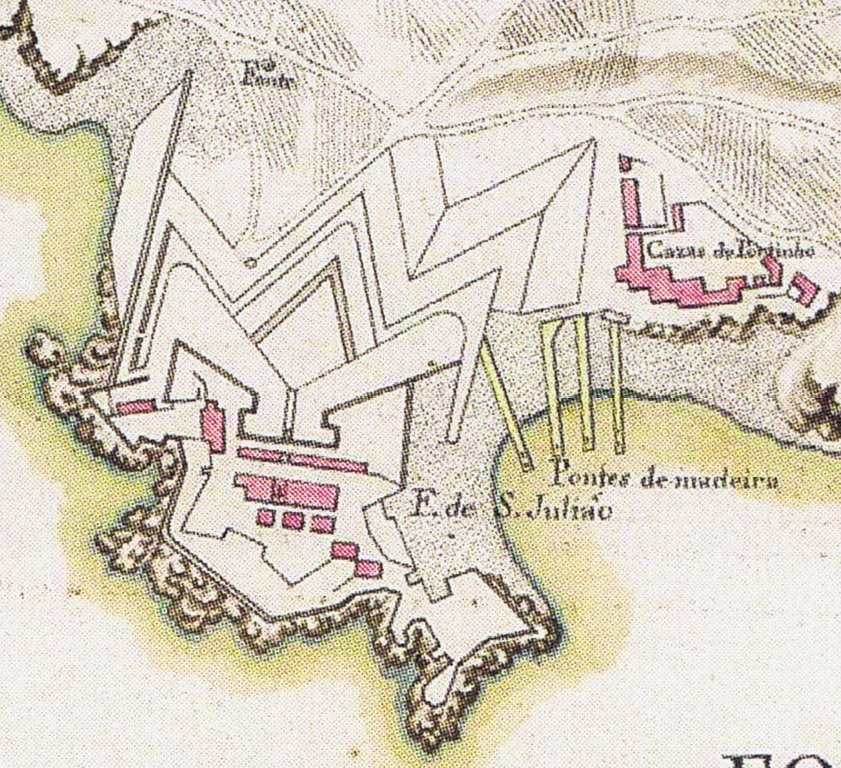
Thanks to Tribuna publishers for permission to use image.

Picture
Image from A Defesa de Lisboa 1809-14, Sousa Lobo, Tribuna, 2015
Picture
Proudly powered by Weebly